Cayman’s seafloor reveals its secrets in landmark autonomous survey
The Cayman Islands now stand at the forefront of ocean science in the Caribbean after completing one of the most ambitious seafloor mapping campaigns ever undertaken in the region.
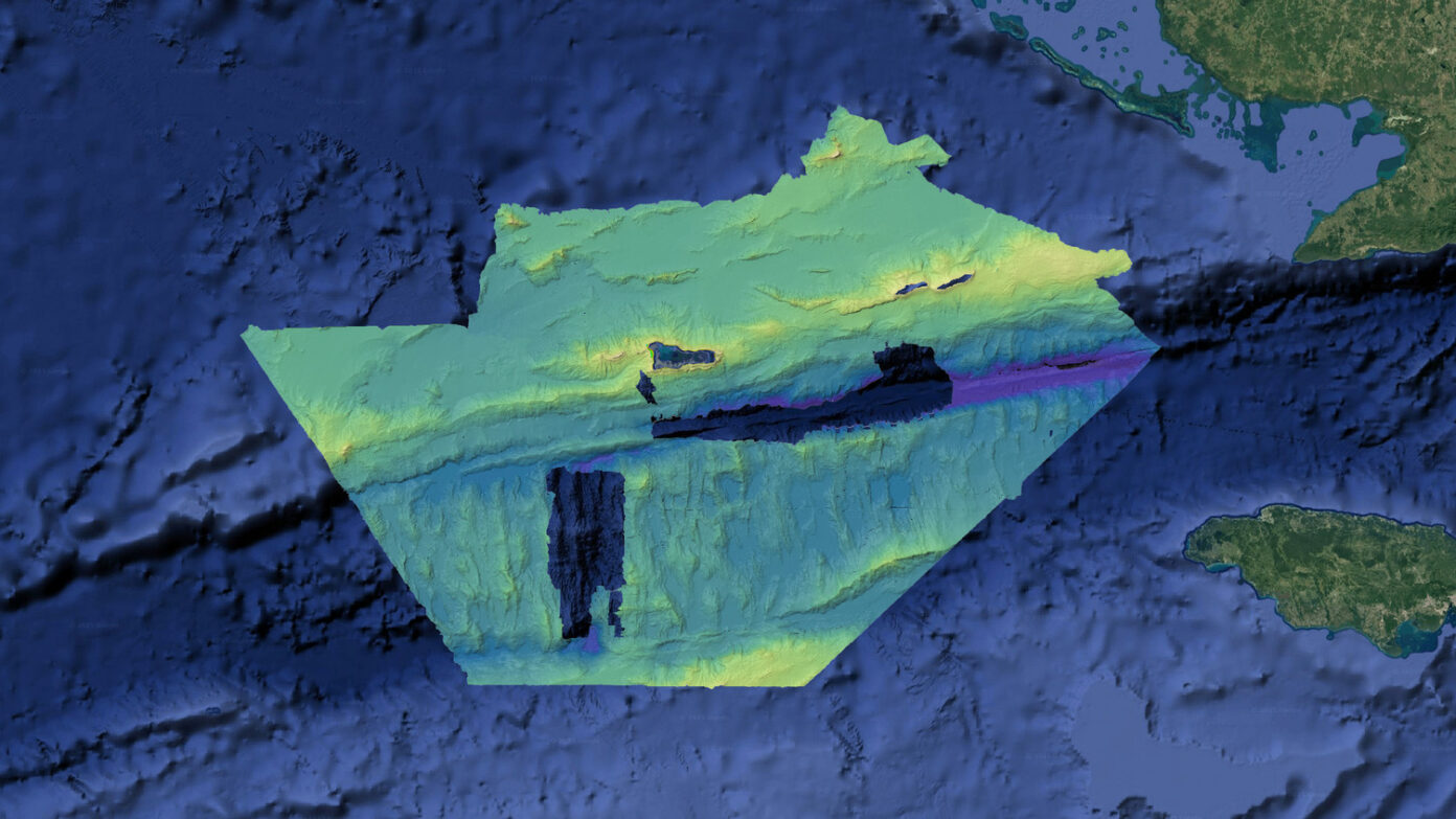
Using a fully autonomous Saildrone Surveyor – an uncrewed surface vehicle capable of operating for months at sea – 56,000 square miles of the Cayman Islands Exclusive Economic Zone (EEZ) has been mapped in high resolution for the first time. For a more complete summary of the story, please see the below link:
Published on: Dec 09, 2025 09:08 AM